Showing posts with label helpful info. Show all posts

November 4, 2008

This is it, you guys.

Tonight is a historic night. It seems that mostly all of Chicago is hyped up for Obama's last campaign rally right here in our very own Grant Park. If you managed to get an official ticket to enter the actual area where Obama will be speaking, ughimsojealousfuckyou. If not, I really think you should head out there anyway - - be a part of this! This is a world-changing day, event and decision that we Americans all need to recognize. Do be careful though if you decide to head out there, there is to be an estimated one million people in attendance. Uh, again. Historic.

Here's a super helpful graphic taken from the Chicago Tribune site to help you navigate the area. You can click this image to enlarge it.


I'm still at work the 9th floor of a building looking at the Art Institute and I can hear the cheering already. I'll be there tonight covering the event. So far, all I've got for you are these pictures by my window at my desk from about an hour ago (I have a pretty nice view aside fromt the reflection of computers, sorry about that).
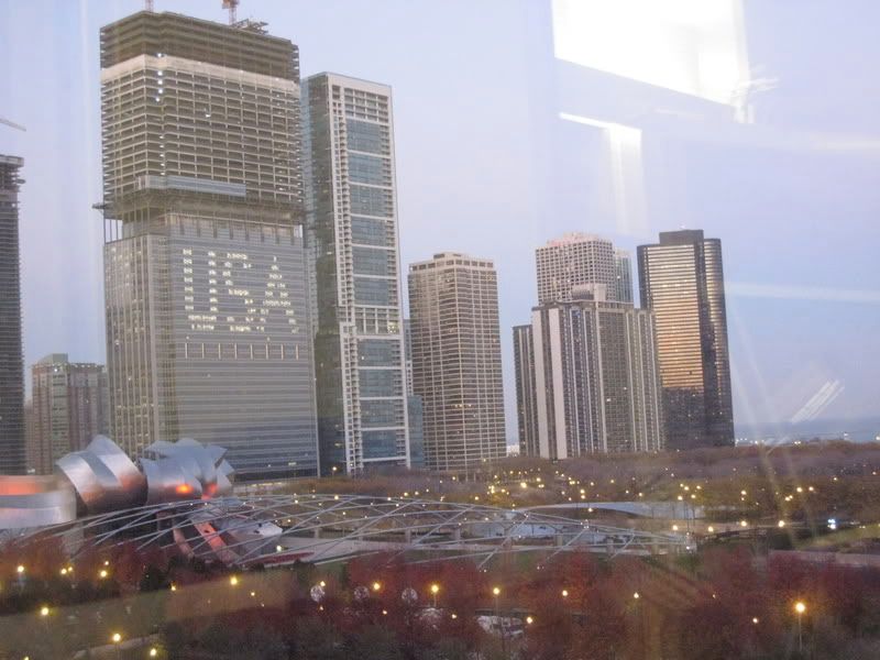

Millenium Park and a high-rise building that got clever with lighting!
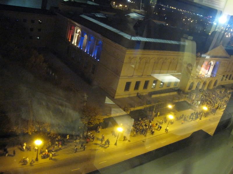

More clever lighting from the left facade of the Art Institute of Chicago.


For more information about the rally in Chicago tonight please visit the Chicago Tribune website. To watch states hopefully light up blue, check out the live updating map on CNN.


Rosa Parks sat so Martin Luther King could walk, Martin Luther King walked so Obama could run, Obama's running so we all can fly.

November 3, 2008

PLEASE Vote Tomorrow.

If you haven't already voted early. If you don't know where to vote tomorrow, use this. Just punch in your address and it'll give you all the information you need, including a polling place you can go to.


October 11, 2008

Chicago's Street System Explained

You know how when you get off of the CTA you see the signs that would say for example, "Addison 3600N 940W"? If you're not a local (or maybe you are and just never bothered to decipher it), this can be ridiculously confusing. Sure you're on Addison Street, but what the fuck are all these numbers? I mean, what do you care?

So I've figured it out.

Chicago's gridded street system was originally laid out by the Chicago Board of Alderman in 1908. All addresses in the city are numbered from the center point intersection of State Street (which runs North and South) and Madison Avenue (which runs east and west) in The Loop area. For every 1 mile outward in any direction there are 8 city blocks. Henceforth, every 800 in numbers is a mile according the the "hundreds" block system. That's why you might hear directions that sound like, "about two thousand north on Western" or "twenty-four hundred west on Augusta" which both describe locations near the intersection of Western Avenue (2400 W) and Augusta Boulevard (1000 N).

That's pretty much the main idea with the grid system. Obviously it's near impossible to memorize the order of the streets by name, so here are some references that you may want to look into. Look around 24-hour diners or call 1 (800) 326-5399 for Turner's Expanded Chicagoland Street Guide, a staple piece of bound matter for anyone looking to get around with ease in the city. You can also take a look at the Chicago Neighborhoods and City Street Guide to get a better bearing on the "hundreds" grid system.

If all else fails and you can't figure it out, go to the nearest CTA employee manned next to the turnstiles at a train entrance and bug them about it, they're supposedly schooled to the teeth about the area. Good luck finding your way to the club and enjoy your Saturday night!